| Geographical Information System's Modules |
| You may click on any image to deploy it in detached window |
|
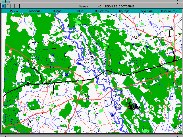
CTC-EXPERT's data management principles allow a customer to combine geological,
geophysical and production information with geographical spatial data such as digital
topographic maps, for example.
|
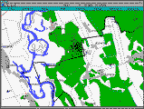
fig.9.1
|
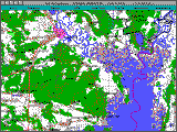
fig.9.2
|
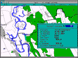
fig.9.3
|
|
|
While working with digital map a customer can specify what kinds of spatial data should be
depicted in the window (settlements, roads, rivers, forests, etc.)
|
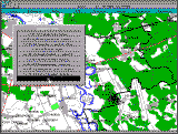
fig.10.2
|
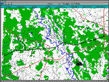
fig.10.4
|
|
|
Representation of topographical data can be combined with diverse forms of special information
display, for example, contour maps (fig. 11.2), grids, objects drawn by a customer using graphical editor.
Figure 11.1 shows settlements (situated near involved oilfield area) along with oil collectors and
geological faults.
|
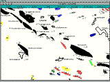
fig.11.1
|

fig.11.2
|
|